

Welcome to the information site for the Savannah Harbor Expansion Project (SHEP) Monitoring Program.
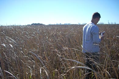
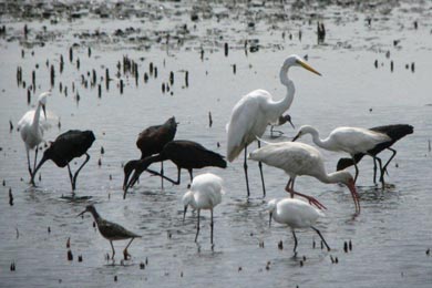
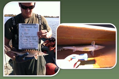
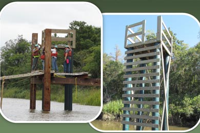
As part of the Savannah Harbor Expansion Project, the US Army Corps of Engineers is conducting environmental monitoring studies.
This website provides a comprehensive portal to the monitoring data and associated reports for the natural resource agencies and the general public.
Visit the SHEP Homepage to learn more about the project.
SHEP - A Collaborative Project
Representatives from federal agencies including US Fish and Wildlife Service, National Marine Fisheries Service, US Environmental Protection Agency, and state agencies including Georgia Department of Natural Resources, South Carolina Department of Natural Resources, and South Carolina Department of Health and Environmental Control used an iterative collaboration process to develop the SHEP monitoring and adaptive management plan. These agencies will be involved throughout the construction and post-construction phases to ensure that the environmental mitigation features perform as expected.
SHEP is jointly funded by the US Army Corps of Engineers and its non-Federal partners, Georgia Ports Authority and Georgia Department of Transportation.
This site is maintained by the Center for Geospatial Research (CGR) at the University of Georgia. Some files on this site are in Adobe Acrobat format and require the free Adobe Acrobat Reader to be opened. If you do not have this reader, it may be downloaded here.


